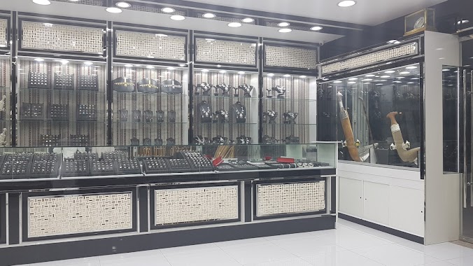
Shopping mall nearby Al Rahat PCC S
Oman
Shopping mall nearby Al Rahat PCC S
Al Rahat PCC S
Muscat, Oman
contacts phone
:
+968
Latitude:
23.5901214
, Longitude:
58.3847697
larger map & directions
read more
nearest Shopping mall
413 m
Azaiba Gardens Mall AGM
Al Athaiba Garden Athaiba, Muscat
Shopping mall
read more
708 m
العذيبة مول Azaiba Mall
Muscat
Shopping mall
read more
722 m
Azaiba Mall
Sultan Qaboos Street, Muscat
Shopping mall
read more
1.429 km
Discounts Markets L.L.C
Muscat
Shopping mall
read more
1.438 km
Munanoor Pipes & Valve Centre
Al Jami Al Akbar Street, Muscat
Shopping mall
read more
1.712 km
Shukran Hypermarket
Muscat
Shopping mall
read more
1.725 km
Al Kiyumi Shopping Cebter
Muscat
Shopping mall
read more
1.971 km
Professional Translators (Protrans) المترجمون المحترفون
Muscat
Shopping mall
read more
2.181 km
Noor Shopping Centre
Muscat
Shopping mall
read more
2.189 km
Noor Azaiba
Muscat
Shopping mall
read more
2.206 km
Prestige Oman
Muscat
Shopping mall
read more
2.206 km
Al ain Gift Mart
Sultan Qaboos Street, Muscat
Shopping mall
read more
2.389 km
The Sultan Center مركز سلطان
18th November Street, Muscat
Shopping mall
read more
2.475 km
الحبسي لصياغة الخناجر العمانية والفضيات
Al Ghubrah South, Muscat
Shopping mall
read more
2.537 km
Somerset
Muscat
Shopping mall
read more
2.551 km
Sports Gallery
Muscat
Shopping mall
read more
2.589 km
Forever
Muscat
Shopping mall
read more
2.65 km
Deema Oman
Al Ghubrah South, Muscat
Shopping mall
read more
2.691 km
Rameez group shopping mall
Al Ghubrah South, Muscat
Shopping mall
read more
2.841 km
Designer Shoe Warehouse (DSW)
Muscat
Shopping mall
read more
2.847 km
Muscat Grand Mall
Al Ghubrah Street, Muscat
Shopping mall
read more
2.85 km
അറേബ്യൻ ഔദ്
Dohat Al Adab Street, Muscat
Shopping mall
read more
2.851 km
Birkenstock
Muscat
Shopping mall
read more
2.921 km
Al Mazad Properties
Al Ghubrah Street, Muscat
Shopping mall
read more
2.987 km
Jenan Complex
Al Ghubrah South, Muscat
Shopping mall
read more
📑
all categories
Accounting
Administrative area level 1
Airport
Amusement park
Art gallery
Atm
Bakery
Bank
Bar
Beauty salon
Bicycle store
Book store
Bowling alley
Bus station
Cafe
Campground
Car dealer
Car rental
Car repair
Car wash
Cemetery
Church
City hall
Clothing store
Convenience store
Courthouse
Dentist
Department store
Doctor
Electrician
Electronics store
Embassy
Establishment
Finance
Fire station
Florist
Food
Furniture store
Gas station
General contractor
Grocery or supermarket
Gym
Hair care
Hardware store
Health
Home goods store
Hospital
Insurance agency
Jewelry store
Laundry
Lawyer
Library
Liquor store
Local government office
Locality
Locksmith
Lodging
Meal delivery
Meal takeaway
Mosque
Movie theater
Moving company
Museum
Natural feature
Neighborhood
Night club
Painter
Park
Parking
Pet store
Pharmacy
Physiotherapist
Plumber
Point of interest
Police
Post office
Premise
Real estate agency
Restaurant
Route
Rv park, camping
School
Shoe store
Shopping mall
Spa
Stadium
Storage
Store
Supermarket
Taxi stand
Travel agency
University
Veterinary care
Zoo
sublocality level 1
↑